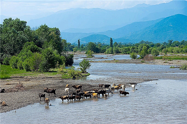
The rivers of Georgia mainly originate in the mountains and have features characteristic of this type of terrain. Their waters are often muddy due to difficult descents from hills through gorges and recharge with melt water. The rivers that the country shares with other states have a second name, like the Kura, which is called Mtkvari in Georgian territories. Ancient designations have not been forgotten either: in the past, Rioni was marked on maps as Phasis.
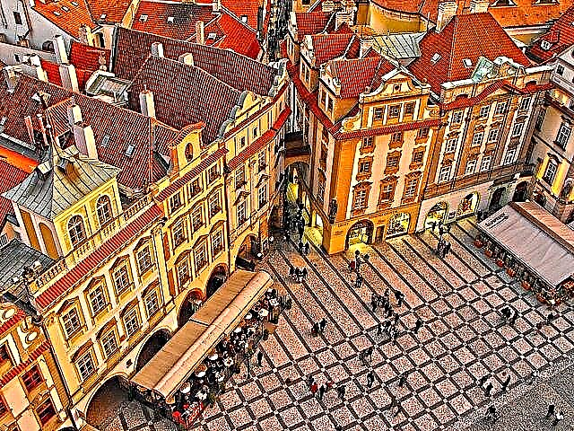
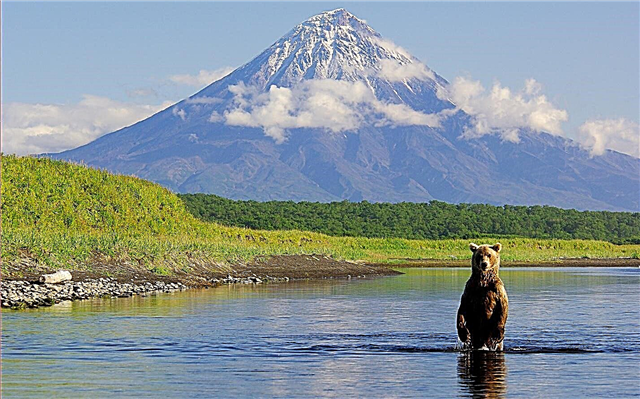
Rest in Georgia without visiting its natural attractions is a big omission for travelers. In addition to steep slopes and dense forests, the shores are rich in other beauties: ruins of medieval castles, bridges, temples and monasteries. In addition, the rapid current and rapids make it possible to arrange exciting rafting.
Largest rivers of Georgia
List, photo with names and descriptions of the longest rivers in the country.
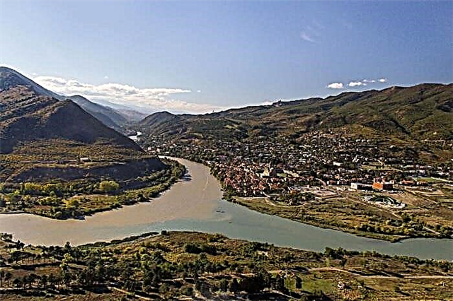
Kura
Another name for the river is Mtkvari, and the translation, depending on the dialect, is either "a river that eats mountains" or "good water". Refers to the territories of three states: Georgia, Turkey and Azerbaijan. Kura is rather muddy, as its path runs through gorges and gorges, and its food is provided by melting glaciers. The Bridge of Peace was built across the river - one of the sights of Tbilisi.
The length of the river is 1364 km, in Georgia - 360 km

Alazani
The longest river in Georgia. It also belongs to the territory of Azerbaijan and delimits these two states. The beginning of the Alazani is on the slopes of the Greater Caucasus, and it flows into the Mingechevir reservoir. The channel runs through valleys with vineyards. The active use of the reservoir in terms of recreation and for irrigation of farmland affected the environment, but not significantly.
The length of the river is 351 km, in Georgia - 173 km

Rioni
The ancient name is Phasis. The most full-flowing river in the country. Partially navigable, but there are restrictions for different types of ships and boats. A cascade of hydroelectric power stations has been built on Rioni, consisting of 5 objects. One of the left tributaries conditionally separates the main part of the country from South Ossetia. There is no better place in Georgia for rafting and other extreme water sports and leisure activities.
River length - 327 km

Iori
It originates on the lands of Georgia and carries its waters towards the Azerbaijani Mingechevir reservoir, created in the 50s of the XX century. Part of the water flows through an artificial canal into the Tbilisi reservoir. A cascade of hydroelectric power stations was built on it. In the historical chronicle, Iori is primarily associated with the battle of 1800 between the Russian troops and the Avars.
The total length of the river is 320 km

Inguri
River in the western part of the country. In the lower reaches, it is the natural border between Georgia and Abkhazia. The largest hydroelectric power plant with a dam in the Caucasus has been built on Inguri. Although the river is mountainous, its water is not muddy. The valley and the currently destroyed bridge across it are strategic positions, there are restrictions on visiting these places, but they are still popular with tourists.
River length - 213 km

Temples
The river of eastern Georgia begins on the Trialeti mountain range and, after 201 km, flows into the Kura. There are several large tributaries, including the Kledeisitskali and Torne. In the middle of the last century, a cascade of hydroelectric power plants and a reservoir were built on Khrami. The coast is ideal for hiking. Rafting is also popular, although shallow water can be an obstacle for travelers. But there is an opportunity to hone the skills of extreme beginners.
The length of the river is 201 km, in Georgia - 135 km

Tskhenistskali
The name is translated from Georgian as "horse water". The source is located near a glacier between two heights: Sharitau and Pasismta. The channel delimits two historical regions of the country: Megrelia and Imeretia. The bends of the river in especially wide places create breathtaking views: mountain ranges give way to densely overgrown valleys. The main town of the coast is Tsageri.
River length - 176 km

Hobie
Alternative name - Khobistskali. It originates on the slopes of the Greater Caucasus mountain range. On the right side, the Chanistskali flows into the Khobi. On the shore is the town of the same name, which grew out of the village thanks to a cannery and a tea factory. Khobi water plays an important role in production, which is also used for irrigation of fields.
River length - 150 km

Quirila
The source of the river is located in the gorges of South Ossetia, but most of it flows in Georgia. In the past, it was believed that Rioni is a tributary of the Kvirila, although in reality the opposite is true. A manganese ore deposit has long been discovered in the river basin. The tortuosity of the channel and sufficient depth make it possible to arrange rafting. Almost a dozen settlements were founded directly off the coast.
The total length of the river is 140 km

Algeti
The Kura tributary flows in the south of Georgia. An artificial reservoir has been created on the river. The valley is characterized by abundant vegetation and species diversity of living creatures. There are over 80 species of birds alone. A national park was established in the vicinity, which made Algeti a magnet for tourists. On the coast, there are ruins of fortresses and religious sites, as well as sites from the Bronze Age.
River length - 108 km

Tehuri
Right tributary of the Rioni. Refers to the western territories of the country. The source is located at an altitude of almost 2400 m above sea level. Mixed feeding contributes to flooding throughout the year. Along Tehuri, timber is rafted, and the water of the river is used for the operation of mills. Gorges, canyons and hollows attract rafters. There are dozens of fish species here.
River length - 108 km

Adjaristskali
The river bed runs through the southwestern territories of the country. Along the banks, there are gently sloping areas overgrown with dense forest, while the main territory is hilly terrain and mountain ranges. Food is mainly rain-fed, so the water level fluctuates depending on the amount of precipitation. A small hydroelectric power station was built at Adjaristskali, put into operation in 1937.
River length - 90 km

Dzirula
The left tributary of the Kvirila flows through the three western municipalities of Georgia. The source is located on the slopes of the Likhsky ridge. In summer, you can observe a natural phenomenon called low water - a strong decrease in the level of the river. The settlements along the banks are based in the immediate vicinity of the gorges. A pine grove acts as a watershed, the trees of which have survived for more than a hundred years.
River length - 83 km

Aragvi
Although the river is far from the longest in the country, it is very popular. Drinks and restaurants are named after Aragvi. The Georgian Military Road runs along the riverbed - part of the main tourist routes. The reservoir feeds dozens of settlements, including the capital. The Zhinvali dam plays an important role in the electrification of the valley. All conditions for rafting and kayaking have been created.
River length - 66 km
Mashavera
Right tributary Khrami. It originates on the slopes of the Javakheti ridge. The waters of the river are used for agricultural purposes. It is considered one of the most abundant in the region. At the same time, it partially dries up in winter, and ice crusts appear along the coastal line in other areas. There are several settlements on Mashaver, including the cities of Bolnisi and Dmanisi.
River length - 66 km

Chanistskali
The right tributary of the Khobi, originates on the slopes of the Egris ridge on the southern side. The food is mixed, hence the wide spring floods and winter floods. On the coast is the city of Tsalenjikha, famous for its cathedral and the burial vault of the monarch's dynasty that ruled in the past. Another attraction of the valley is a medieval castle, although only ruins remain of it.
River length - 63 km

Pshavskaya Aragvi
The main river of the northern historical region of the country is Pshavia. The source is located at Mount Bolshoy Borbalo. There are several tributaries on both sides. The current is fast along its entire length.The channel makes one almost perpendicular turn, abruptly changing the direction of the current. The width ranges from 5-15 meters, and the depth is invariably modest in all areas.
River length - 56 km

Tusheti Alazani
Located in the east of Georgia. The source is located on the Greater Caucasus Range. It is included in the water system of the Caspian Sea. The river valley is replete with scenic views. A quite familiar picture for the Tushetskaya Alazani - one coast - mountains and hills, the second - a lowland with a dense forest. There are many places where the body of water is easy to wade. Hiking is a common leisure activity along the riverbed.
River length - 48 km

Pirikitelskaya Alazani
The channel runs through the northeastern territories of Georgia. In the upper reaches of the Pirikitelskaya Alazani, it is called Kvakhidistskali. The translation of the name is ambiguous, and the word itself is divided into three: stone, water and bridge. The river level rises to a maximum in mid-summer. In some areas, temporary shallowing occurs from November to April. It flows into the Andean Koisu.
River length - 46 km

Kintrishi
The source is in the Hino mountains. The confluence of the Kinkishi tributary conditionally divides the territory where the Kintrishi flows into two sections of different relief: the first is mountainous, the second is flat. The reservoir is an important part of the natural park of the same name. In the place where the river joins the Black Sea, the city of Kobuleti is located. There are several more settlements along the river bed.
River length - 45 km