The area of the Leningrad region is 84,500 km2... They are inhabited by many rare species of birds, fish and animals. Therefore, it is not surprising that a large number of natural monuments are located here. Often they are closely related to historical monuments, representing whole complexes.
Conventionally, natural monuments can be divided into geological, water, botanical. But they are often mixed here. For example, they can be water-geological. Also, natural monuments are divided into those that are already under protection and those that are only supposed to be taken under protection. After all, the nature here is really unique. And the loss of an object is irreparable.
Natural monuments of the Leningrad region
List of the most interesting and beautiful natural monuments in the region.
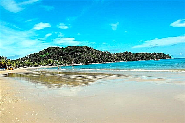
Hawk Lake
Located in the northern part of the Karelian Isthmus. Its length is about two kilometers, and its width is 500 meters. The lake and its surroundings are a state protected natural monument. This place is often called "Big Rocks", as there are indeed granite rocks around the lake. Their height reaches up to 50 meters. Due to their steep slopes, they are popular with climbers. Training and competitions are often held here.

The sources of the Oredezh river in the Dontso tract
It is located in the Volosovsky district on the Izhora Upland. Here Ordovician limestones lie and springs originate from their thickness. Their waters flooded the old Kurlevsky quarry, which is called Lake Donzo. Here is the source of the river. The area of this natural monument is 950 hectares. The upper reaches of the river are the habitat of the Oredezhskaya trout, which is protected. Alvars are located along the banks - meadows on limestone.

Radon springs and lakes in the village of Lopukhinka
This natural monument is located in the Lomonosov district near the village of Lopukhinka. There are many springs and a watercourse of the Lopukhinka River here. As a result of the confluence of the springs, a canyon valley 30 meters deep is formed. The water in the lake and springs is considered curative, as it has a high content of radon. After all, shale lies in this place.

Lake Red
Located on the Karelian Isthmus. Its area is 9 km2... The maximum depth is 12 meters. The lake water has a brownish tint. The Strannitsa River flows into it. And the Krasnaya river flows out of it and connects it with the Pravdinskoe lake. There are 16 species of fish, including those listed in the Red Book. There are rare species of algae and plants near the lake.

Sablinsky natural monument
Located near the village of Ulyanovka. Its area is 3 km2... This place is of artificial origin. For a long time, quartz was mined here underground. Now on the site of the workings there are waterfalls, canyons, caves. In these protected areas, there are many animals listed in the Red Book. The caves contain radon and the air is healing. This natural monument also includes the nearby burial mounds, the Alexander Nevsky camp, and the Pustynka farm.

Lava River Canyon
The river is located on the territory of the Kirovsky district and originates in peat bogs. Has a picturesque canyon. His site near the village of Gorodishche was taken under protection. The length of this part of the canyon is about 2.5 km. It was formed at the intersection of the Ordovician ledge. The rocks of the Ordovician period are visible along its entire length. Here you can also see the fossilized remains of organisms that lived in this area 500 million years ago.

Koltushsky heights
Located on the territory of the Vsevolozhsk region in the Nevskaya lowland. There is also another name: Koltushskaya Upland. Included in the UNESCO list. Has the shape of an irregular arc. The upland consists of sands. And the maximum height of the hills is 78 meters. It has a slope of a kame plateau with thermokarst forms. There are many relict closed-drainage lakes on the territory. The largest is Koltushskoe.

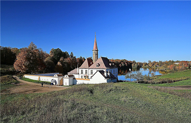
Museum-estate of N.K. Roerich
Located in the village of Izvara. Opened in 1984. And now the estate includes: nine buildings from different times, spring lakes, an old park. A visit to the museum will allow you to get acquainted with the life and work of the famous artist. The exhibition contains many of his early works. Festive events are often held in the estate. And a special expedition was opened on the territory to study nature, conduct archaeological research.

Natural monument "Nizhnevolkhovsky"
Located in the Volkhov region on the two banks of the Volkhov river. This place is the only one where common lumbago grows. This plant is listed in the Red Book. There is a wide variety of common plants. The soil here is predominantly sandy. There are many wastelands called "gray dunes". There are also dry meadows. Since the territory is small, the fauna does not differ in diversity.

Devonian outcrops and adits on the Oredezh River near the village of Borshchovo
It is located in the Luga region near the village of Borshchovo. Located on 270 hectares. Here, on the steep banks of the Oredezh River, you can see outcrops of sedimentary rocks of the Devonian period. These are white and red sands. Fragments of fossil fish were found here. The sediments also contain old adits, which are the wintering place for bats and butterflies.

Devonian outcrops on the Oredezh River near the village of Belogorka
It is located in the Gatchina region near the village of Belogorka. The total area is about 120 hectares. Ordovician geological rocks can be seen on the banks of the Oredezh River. The deposits are composed of yellow, brown, orange quartz sandstones. There are layers of clay, conglomerate. In them you can see the fossilized remains of fish and animals from the Ordovician period.

Devonian outcrops on the Oredezh River near the village of Yam-Tesovo
The outcrops are located near the village of Yam-Tesovo on the left bank of the Oredezh River and their thickness reaches 18 meters. These are deposits of the Upper Devonian, consisting of loose sandstones with yellow, pink, brown clay interlayers. In them you can see the fossilized remains of vertebrates, ferns. Bats hibernate in the adits here.

Outcrops of Devonian and Ordovician rocks on the Saba River
It is located near the village of Psoed and the village of Osmino on the banks of the Saba River. Located on 650 hectares. Recent geological studies have shown that the Ordovician outcrops are no longer present. Devonian outcrops show deposits of red-colored loose sands, sandstones, clays interspersed with quartz pebbles. Here you can see the remains of fossil fish and jawless.

Thick Island
It is located in the Vyborg Bay within the Baltic Crystalline Shield. This island is shaped like a horseshoe thanks to the bay. The most interesting are the rocky complex and rapakivi granite outcrops. The vegetation is not very diverse, but rare species of ferns can be seen here. On the island there are small swamps with blueberries, shiksha, heather. Seaside meadows are located on the shore.

Ragusha river
It flows on the territory of the Boksitogorsk region. It is a tributary of the Volozhba River. It starts near the village of Lushino in Lake Nikulinskoye. On an area of four kilometers, it goes underground, but then comes to the surface again. Differs in tortuosity. It has both swampy and rocky shores. The river bottom has limestone slabs that form small waterfalls. The total length of the river is 42 km.

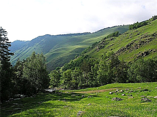
Toksovsky heights
It is one of the highest places in the southern part of the Karelian Isthmus. There are kama hills, or kams, which are composed of sand and were formed as a result of the melting of glaciers. In the lower reaches there are depressions that have turned over time into small peat bogs.Kams are covered with forests, and in the lower reaches moss, sedge, and cranberries grow. There is a rare species of Nessa blackberry. The three-toed woodpecker is a rare species of animals.

Natural monument "Shcheleiki"
It is located on the coast of Lake Onega near the villages of Gimreka and Shcheleiki. Located on an area of 547 hectares. The place is famous for the fact that ancient rocks come to the surface. They consist of pink Shoksha quartzites and black gabbrodiabases. The vegetation, which is located on the rocks, is very sensitive to trampling, therefore it is under special protection.

Natural monument "Staroladozhsky"
Located in the Volkhovsky district near Staraya Ladoga, the village of Plekhanovo. Occupies an area of 220 hectares along the two banks of the Volkhov River. There are geological outcrops of Ordovician rocks with artificial caves, ancient burial mounds. Tanechkin Cave is the largest and is an old adit. Now the bats are hibernating here. On the territory of the natural monument there is the Gorchakovshchinsky waterfall, which flows down from the roof of the sandstones.

Natural monuments with the status of "promising"
Natural objects, which in the near future will be endowed with the status of active natural monuments.
Mon Repos Park
The park is located on the shores of the Zashchitnaya Bay of the Vyborg Bay and belongs to the rocky landscape. These are the lands of the former estate of the barons von Nicolai. The landscape of the park is represented by granite outcrops to the surface. It is formed by glaciers and earthquakes. Its area is 180 hectares. The name of the park means "my vacation". On its territory there are various buildings, bridges, sculptures, streams, rock compositions. All this was built by the best craftsmen and represents different eras and cultures.

Priory park
Located in the city of Gatchina. Its area is 154 hectares. There are lakes here: Filkino, Chernoe, Shchuchye. There is also the Priory Palace on its territory. The layout of the park began at the end of the 18th century and was carried out for a long time. Now it is not part of the museum-reserve. And on its territory, cottage construction is underway.

Glacial boulder "Imp Stone"
It is located in the Volosovsky district, not far from the Tallinn highway. Despite the fact that it is located in the forest on swampy soil, the stone lies on the surface. Presumably, there is a limestone island underneath. The stone also has other names: Church stone, Velesov stone, Sorcerer-stone. It is a large boulder about 5 meters high and 38 meters in girth. It has a step-shaped ledge and two embossed crosses. Many legends are associated with it.

English oak in Irinovka
It is located in the Vsevolozhsk region in the village of Irinovka. In 2012, studies were carried out that proved that his age was 183. At present, the oak is 17 meters high and the trunk diameter at 1.3 meters is 1.96 meters. Before the revolution, the estate of Irinovka belonged to the Baron of Corfu. A large park was laid out here. One of the alleys went out to this oak tree.

Natural monument "Pugarevsky"
It is located in Vsevolozhsk at the Rumblovsky Heights, and its area is about two hectares. Represents postglacial additions, which are about 10 thousand years old. This natural monument got its name thanks to the microdistrict of the same name. The relief of this area is hilly. On the east side there are lakes Dlinnoe, Bizdonnoe, Bolshoye. There are also small water fillings up to 200 meters wide.

Granite massif with caves near the village of Krasny Sokol
Located near the village of Krasny Sokol. The origin of the caves is still unknown, although there are many assumptions. These are egg-shaped niches carved in granite with a small entrance. Available in different sizes. Supernatural incidents are often associated with them. But there is no direct evidence for this.

Seaside
Located in the Vyborg district between the villages of Peski and Zelenaya Roscha. This is the coastal area of the bay with many springs. Streams here flow down the slope and the lower part of the terrace. The upper part of the terrace is a mixed forest with rare plant species listed in the Red Book. Its area is 430 hectares.

The sources of the Paritsa river
It is located in the Gatchina region in the village of Korpikovo. The source of the river is in karst springs. It is to this territory that it is planned to assign the status of protected. There are many springs here that look like geysers. As a result, a key swamp was formed, which was named Korpikovo. Now many rare plants grow on it.

English oak in the Gatchina park
It is located in the Gatchina Park on the Silver Meadow near the northern facade of the palace. It is believed that it was planted under the first owner - Count Grigory Orlov. According to another legend, it was planted later, in 1783, but in any case it is more than 230 years old. Initially, several oaks were planted, but only one has survived to this day. Now its height is over 20 meters.

Suma river canyon
It is located in the Kingisepp region. The river originates from a stream near the village of Famileevo. It flows into the Sista River. But this river is known for its canyon, which was formed several thousand years ago. Its length is about 1.5 km. But, despite its small size, it is a geological monument. And judging by the ancient sources, about a thousand years ago, a semblance of an earthen fortress was built here.

Padunets waterfall on the Burnaya river
The river is located on the territory of the Priozersky district. It is the southern branch of the Vuoksa and flows into Lake Ladoga. It has several rapids, but Padunets is the largest and is often called a waterfall. There are quite large stones here, so the passage through it is difficult. It is located near the village of Zaporozhye.

Fox mountains
These mountains are located in the Kengisepp region. Their area is about 2 km. They are a small fragment of the Ogarevskaya ridge and bear traces of the Valdai glaciation, which ended 10 thousand years ago. A lily of the valley, listed in the Red Book, grows on the mountains. There is a pagan burial, a stone woman.